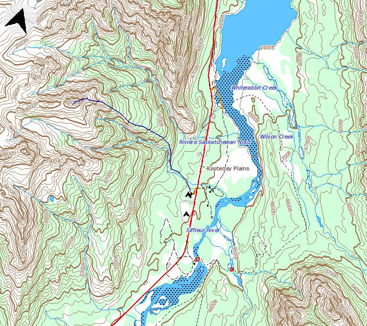
Distance: 12 km
Elevation gain: 1150 m
Time: 4.5 hours
 The weather was a breezy, partly cloudy 4 degrees at Kootenay Plains, which is where our hike began. The trailhead is supposed to start at the Two O'Clock Creek campsite, but it is all locked up for the winter. The Kootenay Plains group camp is also locked up so we parked outside the gates and began our hike from there.
We walked through the Cavalcade and picked up a trail beyond a cattle guard in the direction of Two O'Clock Creek. The trail takes you through deciduous forest and past this old relic:
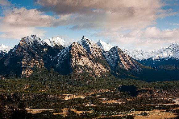
 After crossing the creek, we passed through a burn from the late 90s, and headed up a small ridge line with views towards the Siffleur and Whiterabbit valleys.
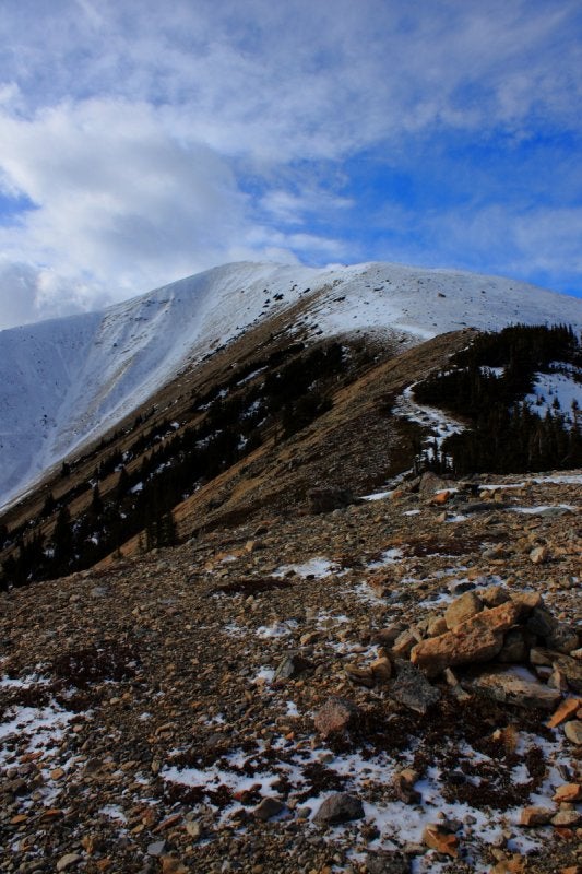
 Soon the hike turned into a fairly relentless uphill trudge, which involved a bit of scree at treeline. Switchbacks? None. Snowline was at 2100 m, and not at all deep. A couple pockets were up to my shins, but most of it was scoured. You can see our route along the ridge to the summit here:
 You can't tell from the pictures but we were getting pummeled pretty hard by some gusts as we neared the top. The views from the summit were great, and the larger peak overlooking Landslide Lake seems like a worthy summer destination.
 We made two small errors on the way back. First, we got too close to the gully on the descent and found ourselves on some sketchy footing for a while before we were able to cut back towards the proper route. This wouldn't have been as difficult if I didn't have my dog leashed to my waist and if the ground wasn't frozen.
Further on, we were happily following the a trail and soon found ourselves confronted with the option of descending into the gully or backtracking and trying to get on top of the ridge. We chose to bushwhack down to the creek and follow it out. This actually worked out well and we were able to pick up the trail again in the flats.
I don't know what was different about this trip but a day later I'm feeling every one of those 1150 meters.


